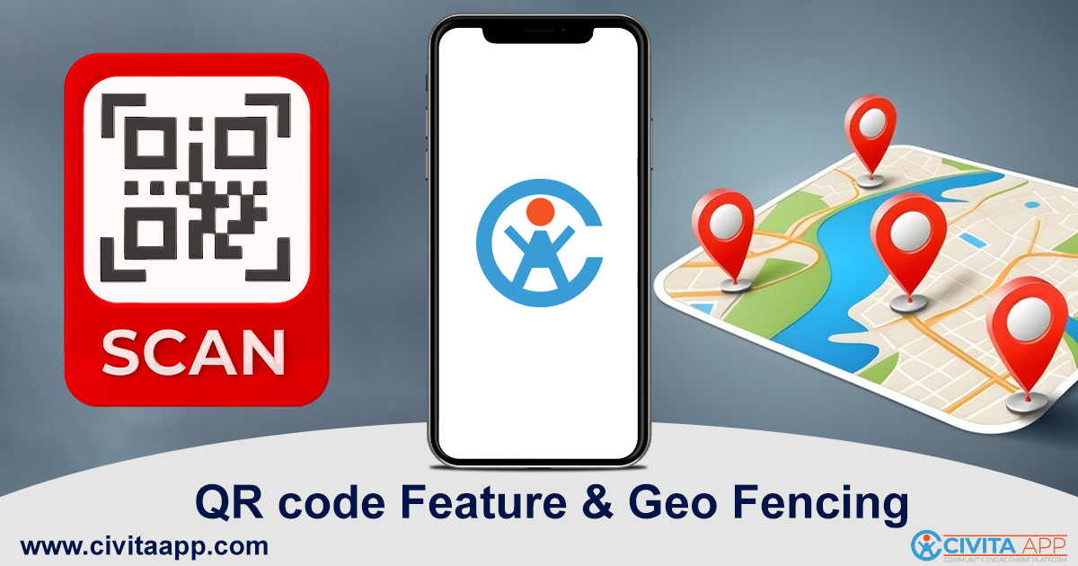
Cities are turning to digital tools to bring public services closer to residents and visitors. Civita App makes this possible with features like QR codes and geo-fencing. These tools allow people to access city resources, updates, and experiences instantly while helping city teams manage services more effectively.
QR codes placed on public spaces create easy connections to maps, videos, and surveys, while geo-fencing supports targeted communication within specific neighborhoods. Together, these features enable cities to connect communities, deliver updates in real-time, and provide convenient access to essential services without relying on traditional methods.
Connecting Residents with QR Codes
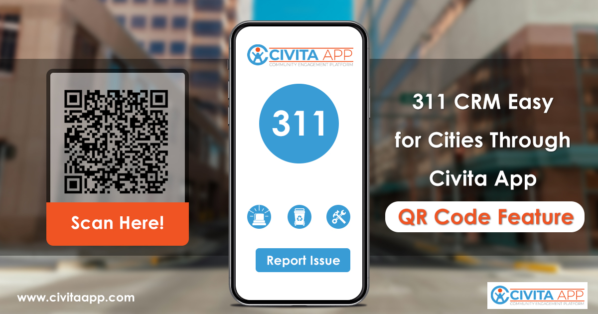
Dynamic QR codes are becoming a valuable tool for citywide communication. By placing these codes on signage, facilities, and landmarks, cities can give residents and visitors direct access to services and information.
With a quick scan, users can open videos, maps, surveys, and check in. This makes it easier for people to access details on local events, public resources, or service updates without searching through multiple platforms. It also supports tourism by guiding visitors to attractions and city highlights in real time.
Boosting Accessibility and Service Delivery
QR codes also make services more accessible across neighborhoods. Instead of waiting in long lines or browsing city websites, residents can instantly connect with the services they need. This creates faster response channels for community requests and adds convenience for daily city interactions.
Additionally, the use of dynamic QR codes enables city teams to gather insights from engagement tracking. By reviewing scan data, officials can better understand which services are most in demand, where support is most needed, and how people interact with local facilities.
Geo-Fencing for Location-Based Services
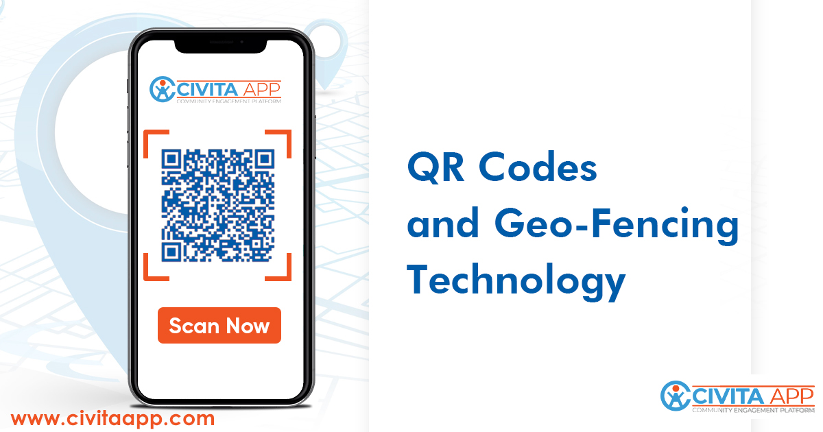
The Civita App also integrates geo-fencing technology, which creates virtual boundaries around specific areas of a city. These boundaries allow cities to deliver location-based notifications, services, and updates.
For example, residents within a neighborhood can receive targeted alerts about maintenance schedules, public meetings, or local service updates. Service delivery teams can also track assigned zones, making it easier to manage work orders and tasks based on defined areas.
Managing Location-Specific Issues
Geo-fencing is particularly effective for addressing location-based issues. When residents report concerns such as road repairs or waste collection, the app can link the report directly to the correct service zone. This reduces confusion, supports better coordination, and helps city teams respond more quickly.
By applying this approach, cities can deliver targeted communication and reduce the chance of missed updates. The precision of geo-fencing also makes it possible to manage multiple neighborhoods or districts without overlap.